
Shanty Bay topographic map
Interactive map
Click on the map to display elevation.
About this map
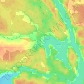
Name: Shanty Bay topographic map, elevation, terrain.
Location: Shanty Bay, French River, Sudbury District, Ontario, Canada (46.16910 -80.39561 46.18910 -80.37561)
Average elevation: 208 m
Minimum elevation: 184 m
Maximum elevation: 225 m
Ontario trails, hiking, mountain biking, running and outdoor activities
Other topographic maps
Click on a map to view its topography, its elevation and its terrain.