
Gerash topographic map
Interactive map
Click on the map to display elevation.
About this map
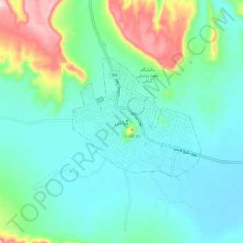
Name: Gerash topographic map, elevation, terrain.
Location: Gerash, بخش مرکزی, Gerash County, Fars Province, 74417, Iran (27.63015 54.09784 27.71015 54.17784)
Average elevation: 973 m
Minimum elevation: 898 m
Maximum elevation: 1,230 m