
Lerna topographic map
Interactive map
Click on the map to display elevation.
About this map
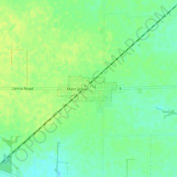
Name: Lerna topographic map, elevation, terrain.
Location: Lerna, Coles County, Illinois, United States (39.41598 -88.29486 39.41999 -88.28314)
Average elevation: 228 m
Minimum elevation: 219 m
Maximum elevation: 235 m
Other topographic maps
Click on a map to view its topography, its elevation and its terrain.
Fox Ridge State Park
United States > Illinois > Coles County
Fox Ridge State Park, Coles County, Illinois, United States
Average elevation: 200 m
Charleston
United States > Illinois > Coles County
Charleston, Coles County, Illinois, 61920, United States
Average elevation: 205 m
Mattoon
United States > Illinois > Coles County
Mattoon, Coles County, Illinois, 61938, United States
Average elevation: 220 m