
Stein topographic map
Interactive map
Click on the map to display elevation.
About this map
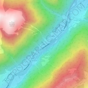
Name: Stein topographic map, elevation, terrain.
Location: Stein, Bezirk Landeck, Tyrol, 6541, Austria (46.97845 10.56300 47.01845 10.60300)
Average elevation: 1,465 m
Minimum elevation: 917 m
Maximum elevation: 2,343 m