
Fisher Branch topographic map
Interactive map
Click on the map to display elevation.
About this map
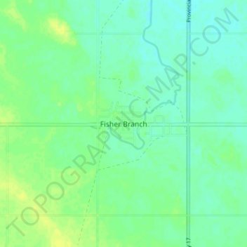
Name: Fisher Branch topographic map, elevation, terrain.
Average elevation: 252 m
Minimum elevation: 245 m
Maximum elevation: 261 m
Other topographic maps
Click on a map to view its topography, its elevation and its terrain.
Poplarfield
Canada > Manitoba > Division No. 18 > Rural Municipality of Fisher
Poplarfield, Rural Municipality of Fisher, Division No. 18, Manitoba, R0C 2N0, Canada
Average elevation: 270 m