
Fisher Branch topographic map
Interactive map
Click on the map to display elevation.
About this map
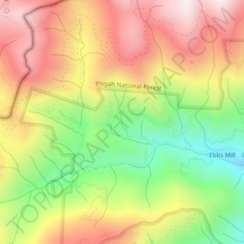
Name: Fisher Branch topographic map, elevation, terrain.
Average elevation: 1,048 m
Minimum elevation: 728 m
Maximum elevation: 1,340 m
Other topographic maps
Click on a map to view its topography, its elevation and its terrain.
Deep River
United States of America > North Carolina > High Point > Deep River
Average elevation: 261 m