
Roscoe topographic map
Interactive map
Click on the map to display elevation.
About this map
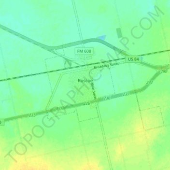
Name: Roscoe topographic map, elevation, terrain.
Location: Roscoe, Nolan County, Texas, United States of America (32.42390 -100.55636 32.45593 -100.48479)
Average elevation: 730 m
Minimum elevation: 721 m
Maximum elevation: 742 m