
Myrtle topographic map
Interactive map
Click on the map to display elevation.
About this map
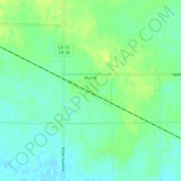
Name: Myrtle topographic map, elevation, terrain.
Location: Myrtle, Freeborn County, Minnesota, United States of America (43.56005 -93.16925 43.56492 -93.15919)
Average elevation: 383 m
Minimum elevation: 375 m
Maximum elevation: 391 m