
Tienen topographic map
Interactive map
Click on the map to display elevation.
About this map
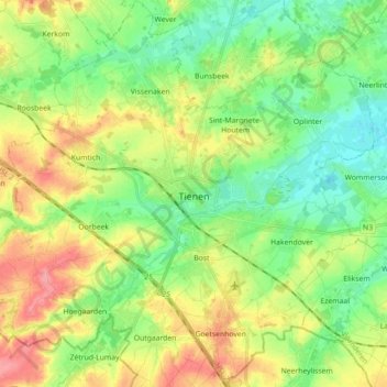
Name: Tienen topographic map, elevation, terrain.
Location: Tienen, Leuven, Flemish Brabant, Flanders, 3300, Belgium (50.75209 4.85161 50.86433 5.01986)
Average elevation: 60 m
Minimum elevation: 28 m
Maximum elevation: 108 m
Other topographic maps
Click on a map to view its topography, its elevation and its terrain.