
Agder topographic map
Interactive map
Click on the map to display elevation.
About this map
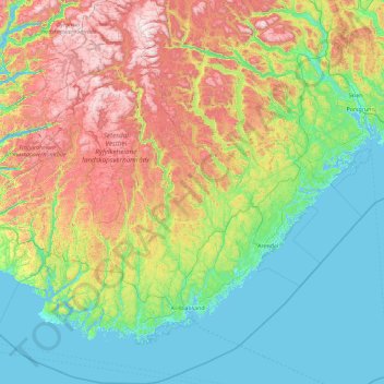
Name: Agder topographic map, elevation, terrain.
Location: Agder, Norway (57.75901 6.14970 59.67269 9.66888)
Average elevation: 361 m
Minimum elevation: -2 m
Maximum elevation: 1,507 m