
Emerson topographic map
Interactive map
Click on the map to display elevation.
About this map
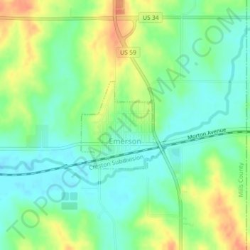
Name: Emerson topographic map, elevation, terrain.
Location: Emerson, Mills County, Iowa, United States (41.01426 -95.40845 41.02371 -95.39650)
Average elevation: 333 m
Minimum elevation: 316 m
Maximum elevation: 359 m