
Mitchell topographic map
Interactive map
Click on the map to display elevation.
About this map
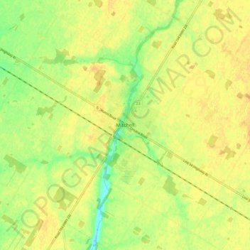
Name: Mitchell topographic map, elevation, terrain.
Location: Mitchell, West Perth, Perth County, Ontario, N0K 1N0, Canada (43.42794 -81.23790 43.50794 -81.15790)
Average elevation: 347 m
Minimum elevation: 329 m
Maximum elevation: 357 m
Perth County trails, hiking, mountain biking, running and outdoor activities