
Trat Province topographic map
Interactive map
Click on the map to display elevation.
About this map
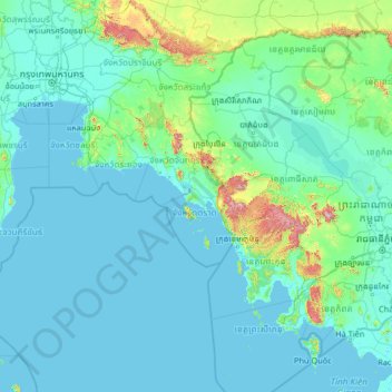
Name: Trat Province topographic map, elevation, terrain.
Location: Trat Province, Thailand (9.69935 99.86689 14.81935 104.98689)
Average elevation: 72 m
Minimum elevation: -2 m
Maximum elevation: 1,685 m