
Yonge topographic map
Interactive map
Click on the map to display elevation.
About this map
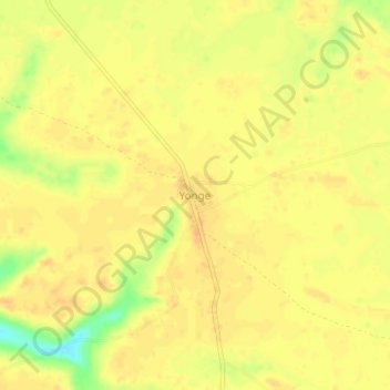
Name: Yonge topographic map, elevation, terrain.
Location: Yonge, Kibombo, Maniema, Democratic Republic of the Congo (-4.02649 25.03301 -3.98649 25.07301)
Average elevation: 531 m
Minimum elevation: 505 m
Maximum elevation: 540 m