
南林間1 topographic map
Interactive map
Click on the map to display elevation.
About this map
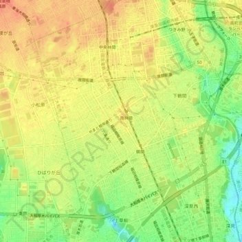
Name: 南林間1 topographic map, elevation, terrain.
Location: 南林間1, Yamato, Kanagawa Prefecture, Kanto, 242-0005, Japan (35.47425 139.42692 35.51425 139.46692)
Average elevation: 76 m
Minimum elevation: 49 m
Maximum elevation: 93 m