
Texla topographic map
Interactive map
Click on the map to display elevation.
About this map
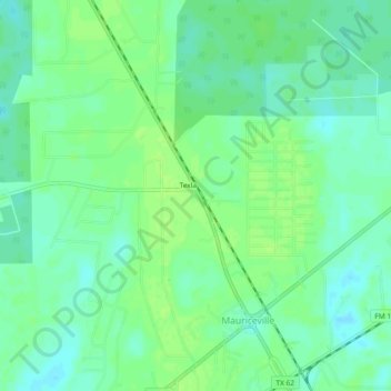
Name: Texla topographic map, elevation, terrain.
Location: Texla, Orange County, Texas, 77626, United States (30.20021 -93.90100 30.24021 -93.86100)
Average elevation: 9 m
Minimum elevation: 2 m
Maximum elevation: 14 m