
Murray topographic map
Interactive map
Click on the map to display elevation.
About this map
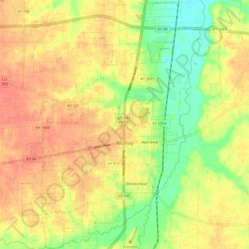
Name: Murray topographic map, elevation, terrain.
Location: Murray, Calloway County, Kentucky, United States (36.57182 -88.36125 36.66204 -88.28567)
Average elevation: 159 m
Minimum elevation: 131 m
Maximum elevation: 178 m