
Ban Na San topographic map
Interactive map
Click on the map to display elevation.
About this map
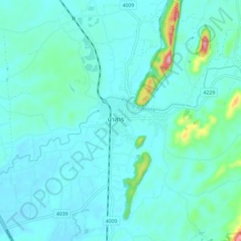
Name: Ban Na San topographic map, elevation, terrain.
Location: Ban Na San, Surat Thani Province, Thailand (8.76148 99.32565 8.84148 99.40565)
Average elevation: 53 m
Minimum elevation: 18 m
Maximum elevation: 293 m