
Lubartów topographic map
Interactive map
Click on the map to display elevation.
About this map
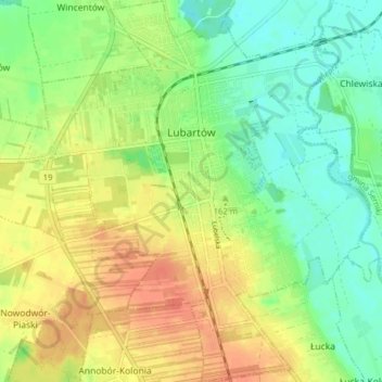
Name: Lubartów topographic map, elevation, terrain.
Location: Lubartów, Lubartów County, Lublin Voivodeship, 21-100, Poland (51.43393 22.56957 51.48289 22.64221)
Average elevation: 162 m
Minimum elevation: 143 m
Maximum elevation: 182 m