
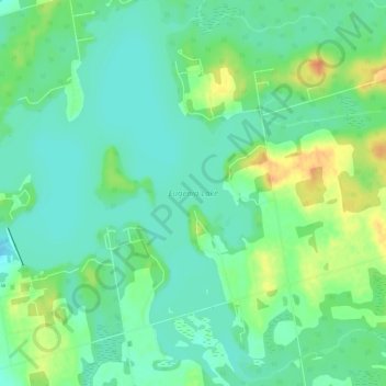
Eugenia Lake topographic map
Interactive map
Click on the map to display elevation.
About this map
Name: Eugenia Lake topographic map, elevation, terrain.
Location: Eugenia Lake, Grey Highlands, Grey County, Ontario, Canada (44.30121 -80.52330 44.34287 -80.47638)
Average elevation: 440 m
Minimum elevation: 426 m
Maximum elevation: 466 m
Grey County trails, hiking, mountain biking, running and outdoor activities
Other topographic maps
Click on a map to view its topography, its elevation and its terrain.