
Abad topographic map
Interactive map
Click on the map to display elevation.
About this map
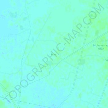
Name: Abad topographic map, elevation, terrain.
Location: Abad, Shikārpur District, Sindh, Pakistan (27.48335 68.80895 27.52335 68.84895)
Average elevation: 57 m
Minimum elevation: 54 m
Maximum elevation: 60 m