
Falls City topographic map
Interactive map
Click on the map to display elevation.
About this map
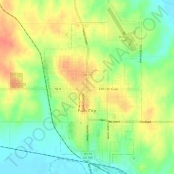
Name: Falls City topographic map, elevation, terrain.
Average elevation: 295 m
Minimum elevation: 268 m
Maximum elevation: 323 m
Other topographic maps
Click on a map to view its topography, its elevation and its terrain.
Rulo
United States > Nebraska > Richardson County > Rulo
Rulo, Richardson County, Nebraska, United States
Average elevation: 280 m