
Kannur topographic map
Interactive map
Click on the map to display elevation.
About this map
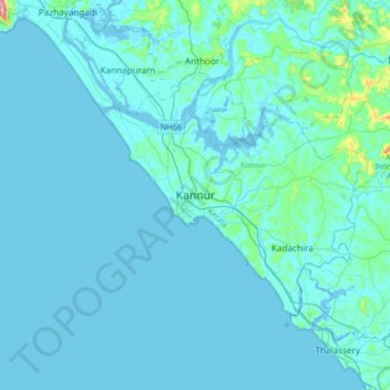
Name: Kannur topographic map, elevation, terrain.
Location: Kannur, Kannur district, Kerala, 670005, India (11.71623 75.21380 12.03623 75.53380)
Average elevation: 13 m
Minimum elevation: -4 m
Maximum elevation: 225 m