
La Mauricie National Park topographic map
Interactive map
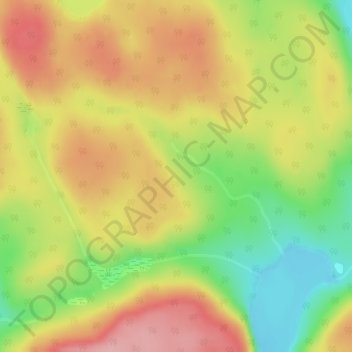
Click on the map to display elevation.
About this map
Name: La Mauricie National Park topographic map, elevation, terrain.
Average elevation: 384 m
Minimum elevation: 309 m
Maximum elevation: 449 m
Quebec trails, hiking, mountain biking, running and outdoor activities
Other topographic maps
Click on a map to view its topography, its elevation and its terrain.