
Charleston Lake topographic map
Interactive map
Click on the map to display elevation.
About this map
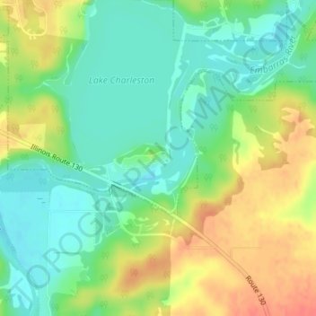
Name: Charleston Lake topographic map, elevation, terrain.
Location: Charleston Lake, Charleston, Coles County, Illinois, USA (39.45947 -88.14249 39.46037 -88.14105)
Average elevation: 193 m
Minimum elevation: 171 m
Maximum elevation: 224 m