
Courtland topographic map
Interactive map
Click on the map to display elevation.
About this map
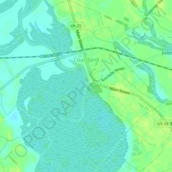
Name: Courtland topographic map, elevation, terrain.
Location: Courtland, Southampton County, Virginia, USA (36.69794 -77.07472 36.72595 -77.05034)
Average elevation: 9 m
Minimum elevation: 3 m
Maximum elevation: 16 m