
Hempstead topographic map
Interactive map
Click on the map to display elevation.
About this map
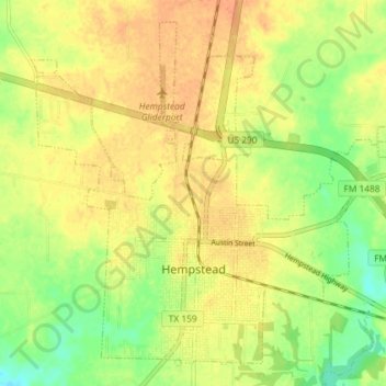
Name: Hempstead topographic map, elevation, terrain.
Location: Hempstead, Waller County, Texas, 77445, USA (30.07734 -96.11137 30.13323 -96.03870)
Average elevation: 69 m
Minimum elevation: 47 m
Maximum elevation: 84 m