
Woolen Mills topographic map
Interactive map
Click on the map to display elevation.
About this map
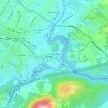
Name: Woolen Mills topographic map, elevation, terrain.
Location: Woolen Mills, Charlottesville (city), Virginia, 22909, USA (38.00347 -78.47862 38.04347 -78.43862)
Average elevation: 139 m
Minimum elevation: 89 m
Maximum elevation: 344 m