
Gobi Desert topographic map
Interactive map
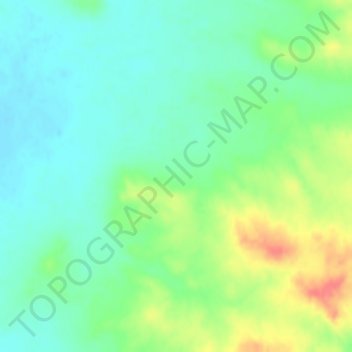
Click on the map to display elevation.
About this map
Name: Gobi Desert topographic map, elevation, terrain.
Average elevation: 1,173 m
Minimum elevation: 1,152 m
Maximum elevation: 1,214 m
The Gobi, broadly defined, can be divided into five distinct dry ecoregions, based on variations in climate and topography:
Other topographic maps
Click on a map to view its topography, its elevation and its terrain.