
Cascade Locks topographic map
Interactive map
Click on the map to display elevation.
About this map
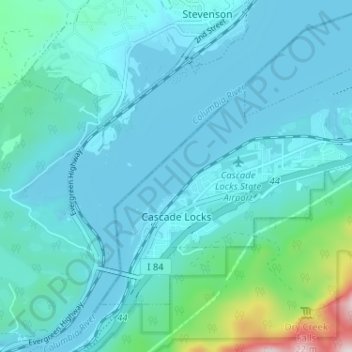
Name: Cascade Locks topographic map, elevation, terrain.
Location: Cascade Locks, Hood River County, Oregon, United States (45.65829 -121.90445 45.69097 -121.84013)
Average elevation: 101 m
Minimum elevation: 18 m
Maximum elevation: 701 m
Other topographic maps
Click on a map to view its topography, its elevation and its terrain.
Elk Mountain
United States > Oregon > Hood River County
Elk Mountain, Hood River County, Oregon, United States
Average elevation: 1,456 m
Mount Hood
United States > Oregon > Hood River County
Mount Hood, Hood River County, Oregon, United States
Average elevation: 2,716 m