
Miramar Beach topographic map
Interactive map
Click on the map to display elevation.
About this map
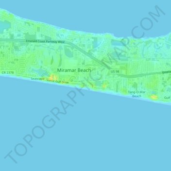
Name: Miramar Beach topographic map, elevation, terrain.
Location: Miramar Beach, Walton County, Florida, 32550, USA (30.35437 -86.37856 30.39437 -86.33856)
Average elevation: 3 m
Minimum elevation: -3 m
Maximum elevation: 19 m