
South River topographic map
Interactive map
Click on the map to display elevation.
About this map
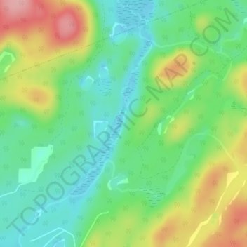
Name: South River topographic map, elevation, terrain.
Location: South River, Joly, Parry Sound District, Ontario, Canada (45.83782 -79.27510 45.84198 -79.27304)
Average elevation: 396 m
Minimum elevation: 346 m
Maximum elevation: 480 m
Ontario trails, hiking, mountain biking, running and outdoor activities