
Glenvale topographic map
Interactive map
Click on the map to display elevation.
About this map
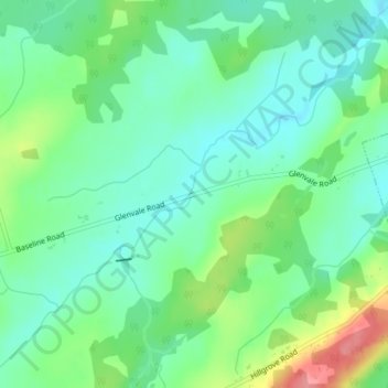
Name: Glenvale topographic map, elevation, terrain.
Average elevation: 60 m
Minimum elevation: 32 m
Maximum elevation: 123 m
Other topographic maps
Click on a map to view its topography, its elevation and its terrain.
Harewood
Canada > New Brunswick > Salisbury Parish
Harewood, Salisbury Parish, Westmorland County, New Brunswick, Canada
Average elevation: 75 m