
Kettering topographic map
Interactive map
Click on the map to display elevation.
About this map
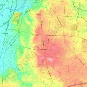
Name: Kettering topographic map, elevation, terrain.
Location: Kettering, Montgomery County, Ohio, United States of America (39.65495 -84.21473 39.73652 -84.09999)
Average elevation: 275 m
Minimum elevation: 213 m
Maximum elevation: 334 m