
Clarendon topographic map
Interactive map
Click on the map to display elevation.
About this map
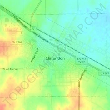
Name: Clarendon topographic map, elevation, terrain.
Location: Clarendon, Donley County, Texas, 79226, United States (34.92559 -100.90961 34.94785 -100.87412)
Average elevation: 842 m
Minimum elevation: 823 m
Maximum elevation: 867 m