
Roseville topographic map
Interactive map
Click on the map to display elevation.
About this map
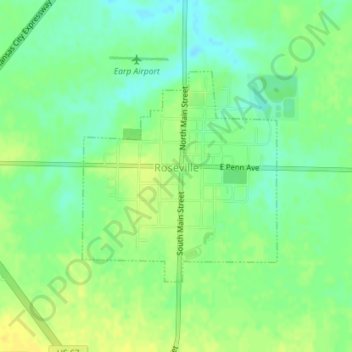
Name: Roseville topographic map, elevation, terrain.
Location: Roseville, Warren County, Illinois, United States of America (40.72350 -90.67413 40.73963 -90.65440)
Average elevation: 225 m
Minimum elevation: 214 m
Maximum elevation: 236 m