
Augustów County topographic map
Interactive map
Click on the map to display elevation.
About this map
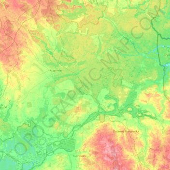
Name: Augustów County topographic map, elevation, terrain.
Location: Augustów County, Podlaskie Voivodeship, Poland (53.57006 22.69680 54.02477 23.58870)
Average elevation: 135 m
Minimum elevation: 94 m
Maximum elevation: 217 m