
Saint-Colomban-des-Villards topographic map
Interactive map
Click on the map to display elevation.
About this map
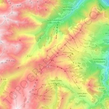
Name: Saint-Colomban-des-Villards topographic map, elevation, terrain.
Average elevation: 1,801 m
Minimum elevation: 661 m
Maximum elevation: 2,853 m