
Watt topographic map
Interactive map
Click on the map to display elevation.
About this map
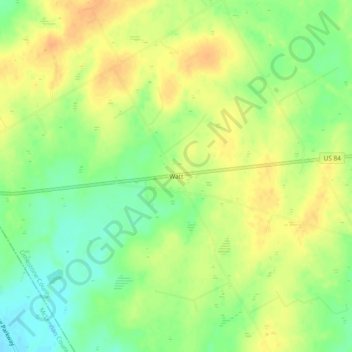
Name: Watt topographic map, elevation, terrain.
Location: Watt, Limestone County, Texas, United States of America (31.62378 -96.87888 31.66378 -96.83888)
Average elevation: 182 m
Minimum elevation: 163 m
Maximum elevation: 196 m