
Batoche topographic map
Interactive map
Click on the map to display elevation.
About this map
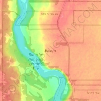
Name: Batoche topographic map, elevation, terrain.
Location: Batoche, Census Division No. 15, Saskatchewan, Canada (52.73601 -106.13794 52.77601 -106.09794)
Average elevation: 474 m
Minimum elevation: 434 m
Maximum elevation: 496 m