
Island Lake topographic map
Interactive map
Click on the map to display elevation.
About this map
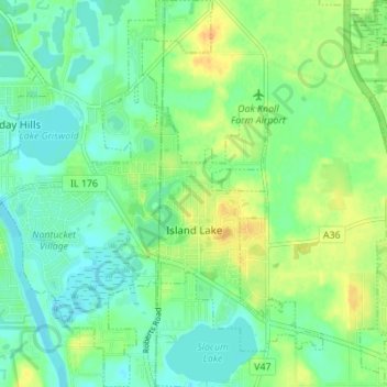
Name: Island Lake topographic map, elevation, terrain.
Average elevation: 233 m
Minimum elevation: 221 m
Maximum elevation: 251 m
Other topographic maps
Click on a map to view its topography, its elevation and its terrain.
Lake Naomi
United States > Illinois > Lake County > Hawthorn Woods > White Birch Lakes
Average elevation: 261 m
Bishops Ridge
United States > Illinois > Lake County > Kildeer > Bishops Ridge
Average elevation: 253 m