
Fallis topographic map
Interactive map
Click on the map to display elevation.
About this map
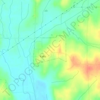
Name: Fallis topographic map, elevation, terrain.
Location: Fallis, Oklahoma, United States of America (35.74621 -97.12386 35.75408 -97.11288)
Average elevation: 284 m
Minimum elevation: 266 m
Maximum elevation: 318 m