
Kilmartin topographic map
Interactive map
Click on the map to display elevation.
About this map
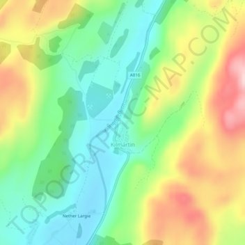
Name: Kilmartin topographic map, elevation, terrain.
Location: Kilmartin, Argyll and Bute, Scotland, United Kingdom (56.13223 -5.48721 56.13958 -5.48284)
Average elevation: 112 m
Minimum elevation: 14 m
Maximum elevation: 261 m