
Rockwood topographic map
Interactive map
Click on the map to display elevation.
About this map
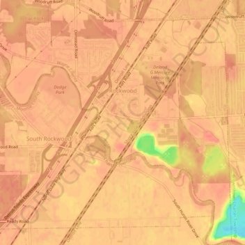
Name: Rockwood topographic map, elevation, terrain.
Location: Rockwood, Wayne County, Michigan, United States (42.04850 -83.26958 42.08391 -83.22546)
Average elevation: 178 m
Minimum elevation: 137 m
Maximum elevation: 185 m
Other topographic maps
Click on a map to view its topography, its elevation and its terrain.
Kresge Ford Basement Courtyard
United States > Michigan > Wayne County > Detroit
Average elevation: 193 m
Greenfield Village
United States > Michigan > Wayne County > Greenfield Village
Average elevation: 184 m