
Perth South topographic map
Interactive map
Click on the map to display elevation.
About this map
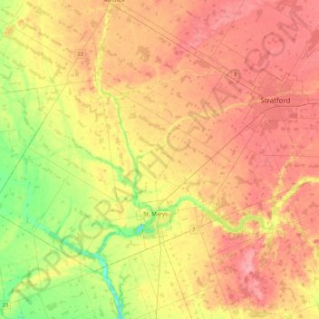
Name: Perth South topographic map, elevation, terrain.
Location: Perth South, Perth County, Ontario, Canada (43.20333 -81.36375 43.42006 -80.93688)
Average elevation: 339 m
Minimum elevation: 278 m
Maximum elevation: 390 m
Perth County trails, hiking, mountain biking, running and outdoor activities
Other topographic maps
Click on a map to view its topography, its elevation and its terrain.