Geolocate

East Lansing topographic map

Interactive map

Click on the map to display elevation.

About this map

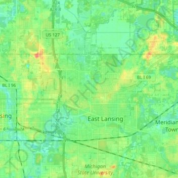
Name: East Lansing topographic map, elevation, terrain.

Location: East Lansing, Ingham County, Michigan, United States (42.69726 -84.51351 42.80098 -84.43887)

Average elevation: 261 m

Minimum elevation: 247 m

Maximum elevation: 289 m

Other topographic maps

Click on a map to view its topography, its elevation and its terrain.

Meridian Charter Township

United States > Michigan > Ingham County

Meridian Charter Township, Ingham County, Michigan, United States

Average elevation: 265 m

Lansing

United States > Michigan > Ingham County

Lansing, Ingham County, Michigan, United States

Average elevation: 263 m