
Clear Creek topographic map
Interactive map
Click on the map to display elevation.
About this map
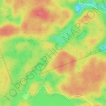
Name: Clear Creek topographic map, elevation, terrain.
Average elevation: 343 m
Minimum elevation: 305 m
Maximum elevation: 368 m
Other topographic maps
Click on a map to view its topography, its elevation and its terrain.
Bigwind Lake Provincial Park
Canada > Ontario > Bracebridge
Bigwind Lake Provincial Park, North Clear Lake Road, Bracebridge, District Municipality of Muskoka, Muskoka District, Ontario, Canada
Average elevation: 336 m