
Logar Province topographic map
Interactive map
Click on the map to display elevation.
About this map
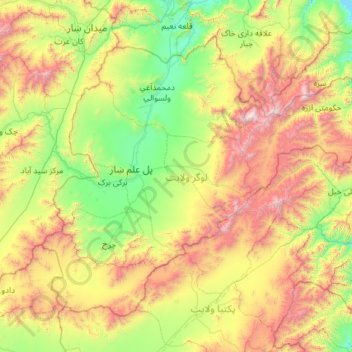
Name: Logar Province topographic map, elevation, terrain.
Location: Logar Province, Afghanistan (33.59569 68.71310 34.36796 69.88377)
Average elevation: 2,532 m
Minimum elevation: 1,732 m
Maximum elevation: 4,260 m