
Mihtarlam topographic map
Interactive map
Click on the map to display elevation.
About this map
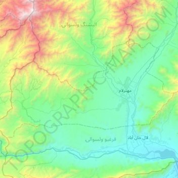
Name: Mihtarlam topographic map, elevation, terrain.
Location: Mihtarlam, Laghman Province, Afghanistan (34.54492 69.81012 34.79008 70.35422)
Average elevation: 1,368 m
Minimum elevation: 591 m
Maximum elevation: 4,219 m