
Chong'en topographic map
Interactive map
Click on the map to display elevation.
About this map
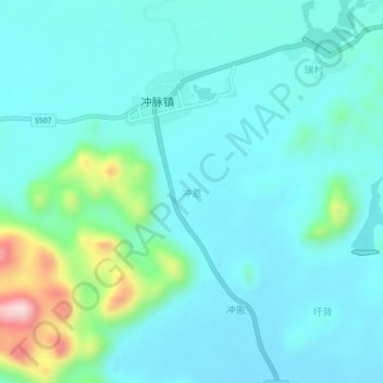
Name: Chong'en topographic map, elevation, terrain.
Location: Chong'en, Liucheng County, Liuzhou City, Guangxi, China (24.59970 108.95100 24.63970 108.99100)
Average elevation: 268 m
Minimum elevation: 207 m
Maximum elevation: 564 m